Pondering the infinite in Yukon Flats
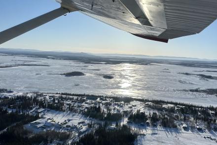
YUKON FLATS — Out here, in a smooth plain stretching over Alaska’s wrinkled face, water and tree and mud dissolve to fuzz at each horizon. No hills or bumps. An ocean of sky. An observer once said Yukon Flats looks like a place where God forgot to put something.
Garrett Jones and I are camped on a giant island not far from the Yukon River map feature labeled "Halfway Whirlpool." Surrounded by gritty islands of silt and poplars and leafless willows, we are in the center of a river channel more than three miles wide. We feel like ants twitching for a hill to climb.
Jones, who owns Arctic River Guides, invited me on a boat trip from the upper Porcupine River to Circle, where his truck is parked. He wanted company on his last river trip before freezeup. For a few shivers, I get to see new country. This thick, twisted braid of river between Fort Yukon and Circle is, to me, the most exotic.
Yukon Flats is the largest mud-pie in Alaska: river, islands and swamps covering the acreage of Maryland, underlain by 300 feet of sand and silt. The flats are roughly at the midpoint of the Yukon River, with 900 miles left to the Bering Sea. Despite having all that ground to cover, the river here is only 485 feet above sea level. That’s according to a nearby elevation benchmark named Donna.
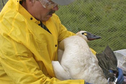
This basin filled with muck is one of the world's great bird places. Scientists at Yukon Flats National Wildlife Refuge have in summer banded songbirds and ducks that have shown up in 45 other states and a dozen countries. A large proportion of the continent's canvasback ducks breed here, and as many as two million ducks of many other species. We have seen a few dozen of the final migrators in flocks, feeding in open water before it hardens.
Those birds helped save Yukon Flats from becoming a reservoir the size of Lake Erie. In the 1950s, some officials of the territory proposed a hydroelectric dam: Power for all Alaskans. They imagined the Rampart Dam 200 miles downriver, where canyon walls squeeze the river. Had that dam been built, the island upon which we're standing would be on the bottom of the largest manmade lake on the continent. But President Jimmy Carter's designation of the wildlife refuge here in 1980 ended the project, which was also opposed by Natives whose villages would have been destroyed.
The Yukon River flows by on all sides with a volume too large for a meaningful comparison. We're surrounded by streams, creeks, lakes and potholes. There are so many that someone from the refuge estimated you could wet your packraft in four different water bodies each day for the next 14 years until you had to repeat one.
Like the extreme basin of Death Valley, Yukon Flats is a hot place. A weather observer at Fort Yukon recorded 100 degrees Fahrenheit on June 27, 1915. That Alaska-record temperature, also the all-time high for both Hawaii and Albany, New York, contrasts with Fort Yukon's December of 1917. During that month, the average temperature was minus 48.3 degrees.
Though we are here just a few weeks before the river freezes, the sun is inescapable here in the Flats, requiring sunglasses to drive the boat. And though we both agree there's something about all this sky that makes us crave a mountain, we change our minds at night.
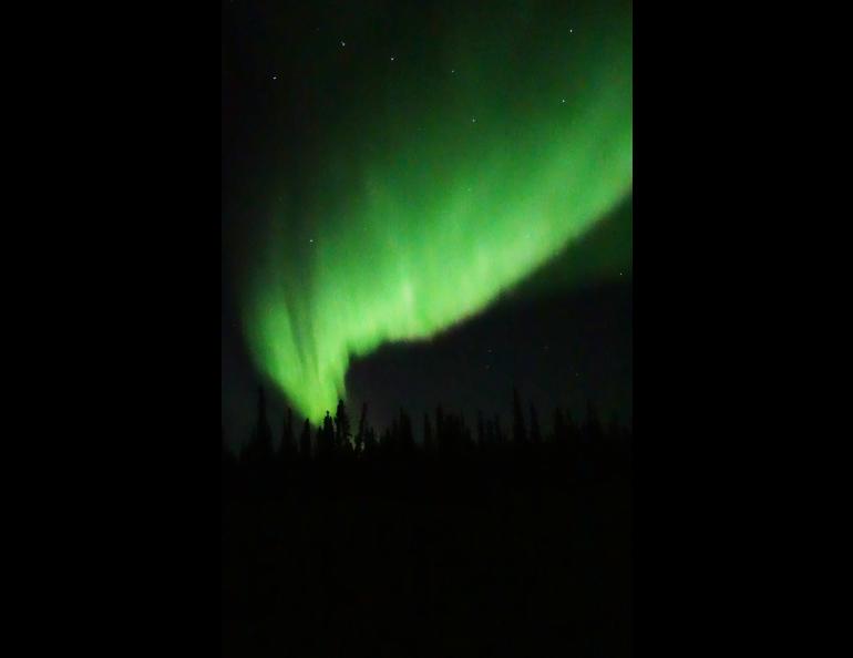
Even before the western light gives way to stars, we see the first streaks of aquamarine light. Our trip has luckily coincided with one of the most powerful solar storms in recent times.
Aurora scientists have said Fort Yukon is one of the world's best towns for watching the aurora, which often forms a halo over the North Pole. Our spot, an island 40 miles south of Fort Yukon, is even better: The blackness of a new moon under an infinite dome of sky, no diesel-fired lights to dull our eyes.
The hemisphere of rippling light reflects off the liquid Yukon. We stand outside the Arctic Oven tent until we start to shiver. Then we pull on coats and stand some more, wrapped in silence. We stare at blobs in the sky so bright we almost throw shadows on the frosted willows.


