The Remote Sensing group acquires, processes and interprets data spanning the electromagnetic spectrum from ultraviolet to microwave wavelengths. We conduct research using data collected from satellites, unmanned aircraft systems, manned aircraft and ground-based systems, and are working to develop new sensors and missions.
Current study topics include sea-ice dynamics, permafrost-affected landscape change, ground deformation, volcanic-hazard monitoring, wildfire monitoring and mitigation, and planetary science.
In addition, our faculty lead several multidisciplinary educational outreach efforts and conduct research on science learning beyond remote sensing. These include science identity development, STEAM (science, technology, engineering, art and mathematics) and identifying best practices for educator professional development.
Research Areas
- Land Use and Earth Systems
- Learning Research
- Microwave Remote Sensing
- Planetary Science
- Sea Ice Remote Sensing
- UAS Applications
- Volcanic Hazards Remote Sensing
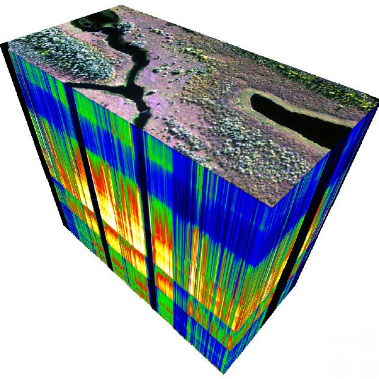
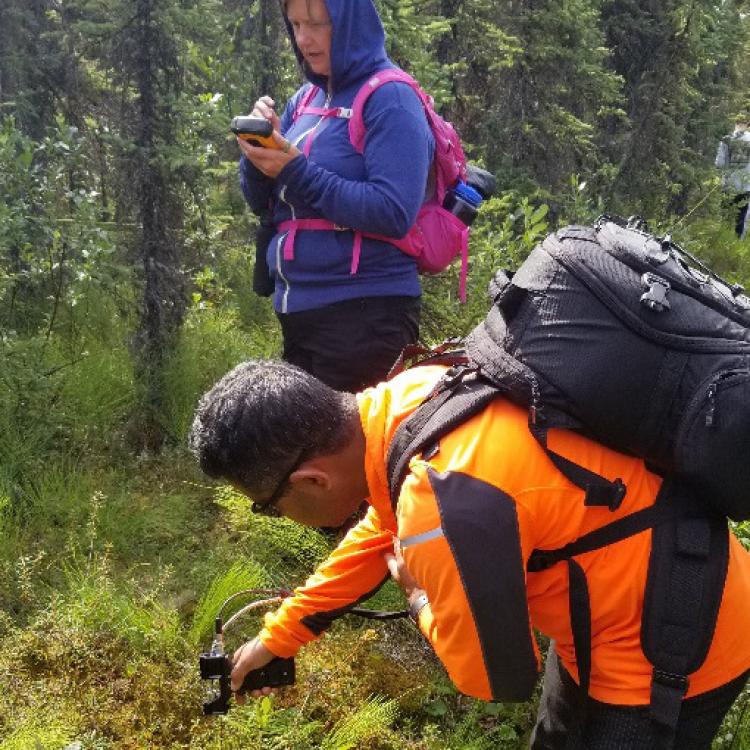
In recent decades, rising air temperatures and shifting seasonality have been the major drivers of rapid changes in the Arctic environment; most prominent of these changes are inconsistent wetting and drying of land, vegetation greening and browning, large wildfires, river and coastal erosion, and permafrost-thaw induced ground failures. We use state-of-the-art technology (airborne and ground hyperspectral instruments, drones and real-time kinematic GPS systems) to advance remote sensing of Arctic land use/land cover change. In addition, we develop geospatial products to inform policy- and decision-making in addressing geo-environmental changes and related geo-hazards.
We study issues of engagement and fair access to science, with a special focus on under-represented groups in science. Areas include integrating art into science learning (STEAM), science identity, field science communities of practice, and communicating the value of real and immersive science learning experiences. We work in both out-of-school and in-school contexts with educators and youth, using multiple approaches to elucidate outcomes including design-based research: iterative cycles of design, implementation, analysis and redesign.
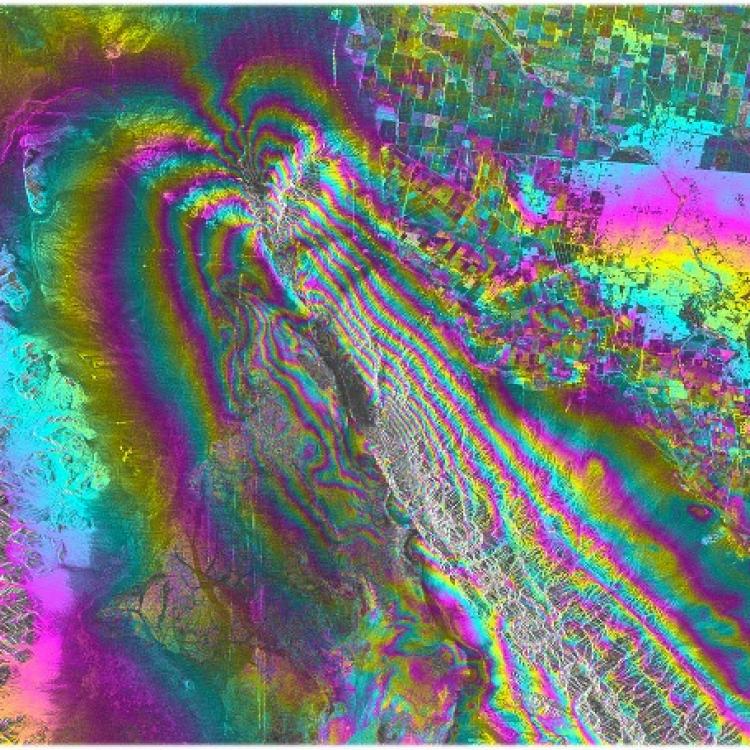
Research in microwave remote sensing focuses on high-resolution monitoring of Earth systems from space. We develop sophisticated radar techniques for observing surface movements and deformation, ecosystem changes and atmospheric processes. Using satellites, we do so across vast areas: this is all the more important in the Arctic and sub-Arctic, where permafrost degradation, glacier retreat and changes in sea-ice regimes, though pervasive, are difficult to monitor locally. In a multidisciplinary spirit, our research program combines signal processing and data science with geophysics, environmental science and hazard response. We collaborate extensively with partners at UAF, across Alaska and in the U.S., and have strong working relationships with NASA, the German Aerospace Center and the European Space Agency.
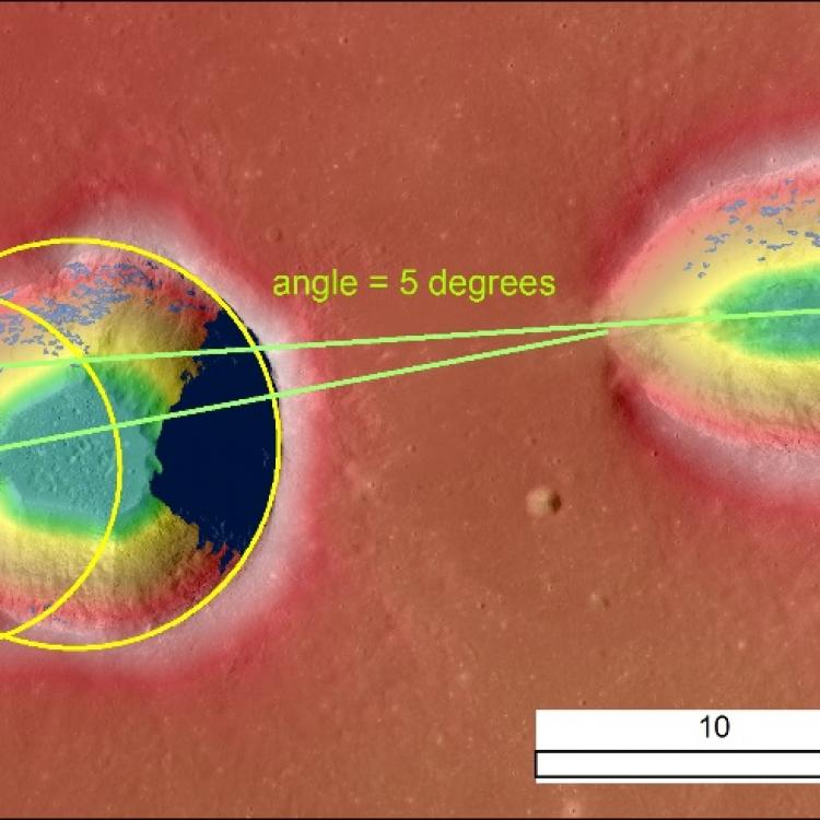
We study the geologic processes and histories of other planetary bodies in the solar system. Our goal is to explain how and why these bodies became different from Earth. Imaging, topography and gravity data collected by planetary missions are processed and analyzed with much of the same software and techniques used for our group’s terrestrial studies.
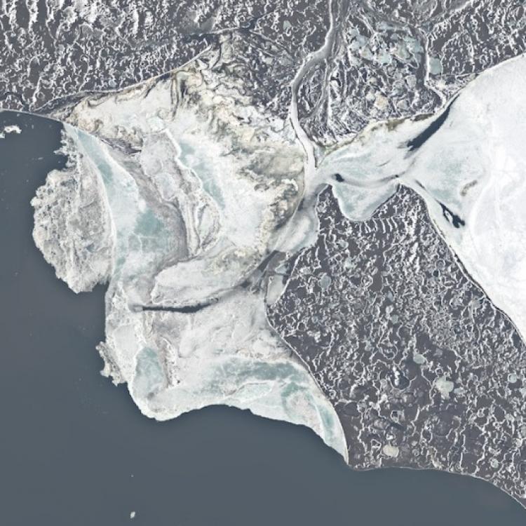
The dramatic loss of Arctic sea ice in recent decades is one of the most striking changes taking place on the planet. At the Geophysical Institute, we study sea ice to understand how these changes interact with the climate and ecosystem, and what this means for those who live in the Arctic or whose lives are touched by it.
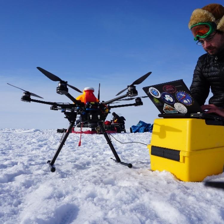
The team focuses on integrating unmanned aircraft systems (UAS) into the U.S. National Airspace System and developing new payload sensors to map natural hazards across Alaska and the Arctic, as well as supporting search and rescue operations and Arctic domain awareness. Our researchers analyze airborne remote sensing measurements using visible-to-infrared payloads on both small (less than 55 pounds) and large (greater than 55 pounds) UAS. Our research and educational development efforts are integrated into the Alaska Center for Unmanned Aircraft Systems Integration.
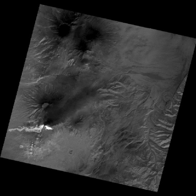
We apply space-borne (visible to infrared) observations to analyze volcanic activity and erupted products. Our group analyzes time-series measurements from high-temporal frequency data to understand the thermal output from ongoing and precursory volcanic activity. We have developed algorithms to derive volcanic cloud and plumes properties for validation and calibration of ash and gas dispersion modeling. Our team has connections to the GI volcanology group and the Alaska Center for Unmanned Aircraft Systems Integration (ACUASI).
Project Highlights
NISAR
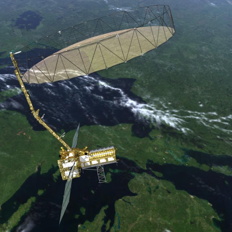
Using advanced radar imaging capable of providing an unprecedented view of Earth, the NASA-ISRO Synthetic Aperture Radar, or NISAR, mission is designed to monitor some of the planet's most complex processes, including ecosystem disturbances, ice-sheet collapse and natural hazards. Franz Meyer has been developing NISAR since 2012 as a member of the NISAR science team. As part of this team (2012–2019) and later the NISAR pre-launch science team (since 2019), he designed calibration and validation plans, worked to build SAR capacity and developed science product requirements.
Fire and Ice
Remote Sensing faculty were heavily involved in the now complete university-wide project Fire and Ice: Navigating variability in boreal wildfire regimes and subarctic coastal ecosystems, funded by the National Science Foundation Established Program to Stimulate Competitive Research (EPSCoR). Santosh Panda evaluates wildfire risk and behavior in boreal Alaska using vegetation spectroscopy from airborne and field data. Laura Conner was the director of the DEW component of Fire and Ice.
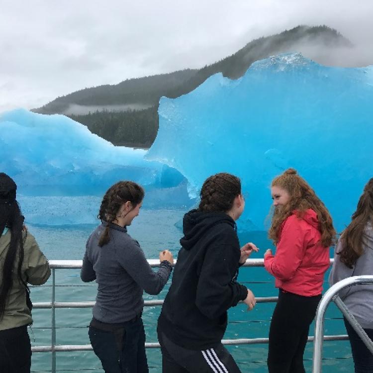
DEW's aim was to develop key sustainability competencies related to ecological change, such as systems thinking, values thinking and futures thinking, among a variety of stakeholders. Activities included partnerships with after-school programs, an educational research project on first-generation science identity, support activities for science undergraduates, and faculty professional development and mentoring. In addition, faculty were involved with the new Girls on Water and Girls in the Forest programs.
EnVision
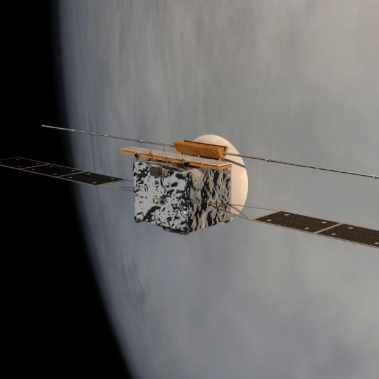
It has been more than three decades since NASA last launched a Venus mission, Magellan, that Robert Herrick participated in as a graduate student and postdoc. Herrick is currently on the leadership team for EnVision, a mission proposal currently a finalist in the European Space Agency’s M5 flight competition. EnVision is a multi-instrument mission that will follow Magellan’s legacy with high-resolution SAR imaging, radar sounding and infrared spectroscopy designed to resolve mysteries regarding the history of Earth’s closest planetary neighbor. As proposed, NASA will contribute key components to the spacecraft; a final decision on whether EnVision will be selected for flight is expected in 2021.

