


Arctic scientist to map space weather from Antarctica
A University of Alaska Fairbanks scientist is sending two devices to Antarctica to measure winds and temperatures in space more than 100 miles above the Earth’s surface.
Mark Conde, a space physicist with UAF Geophysical Institute, wants to make maps of weather in the upper atmosphere above Antarctica.
It’s never been done before from these latitudes, and the findings will be of use to spacecraft and satellite operators, Conde said.
“It used to be people were just concerned about disruptions to communication, a problem with the ionosphere,” Conde said. “Now we have to worry about space debris.”
There are more than 1,000 working satellites orbiting the Earth now. However, there are also more than 500,000 visible bits and pieces of space junk, according to NASA. Collisions are a constant threat and, despite operators’ best efforts to avoid them, they do happen. Even flecks of paint can damage a spacecraft’s window after a 17,500 mph collision.
That’s why understanding space weather is important, Conde said. People in satellite and spacecraft operations have to precisely predict their spacecrafts’ orbits. Conde’s maps will help to reduce the uncertainty of these predictions, allowing spacecraft operators to undertake fewer evasive maneuvers, save fuel and extend the lives of their expensive orbital assets. This is why the National Science Foundation provided a five-year, $980,000 grant for the project. The installations will take place in December, but equipment is being shipped now.
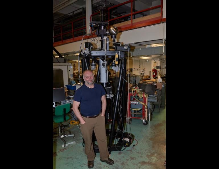
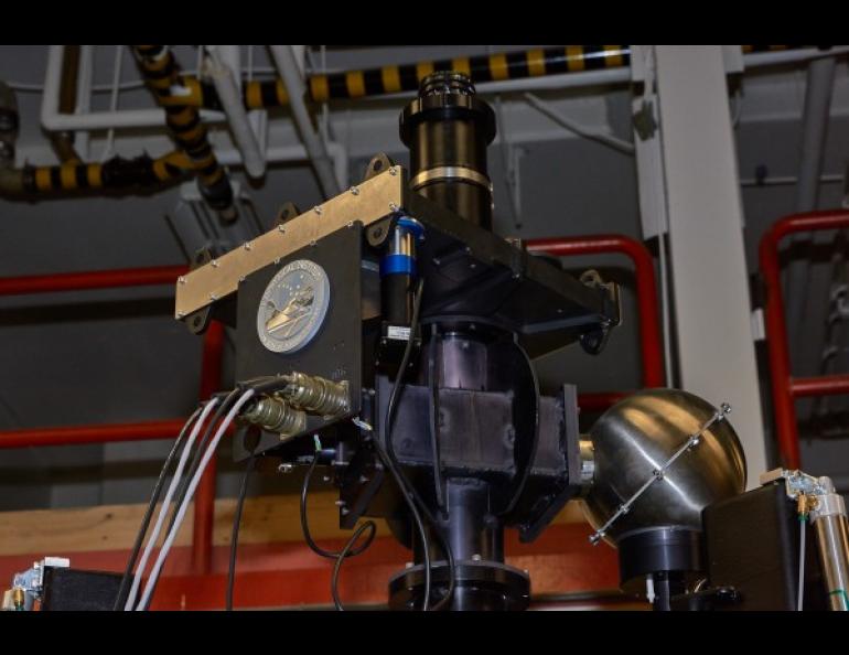
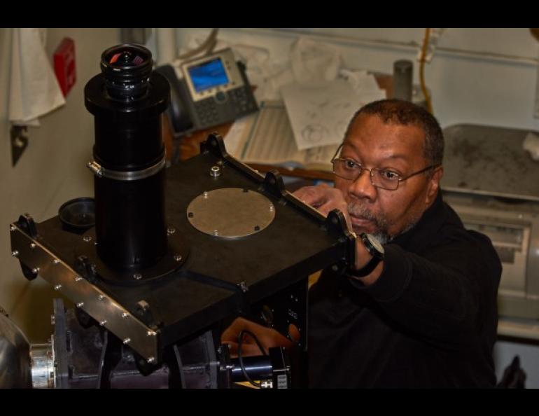
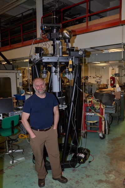
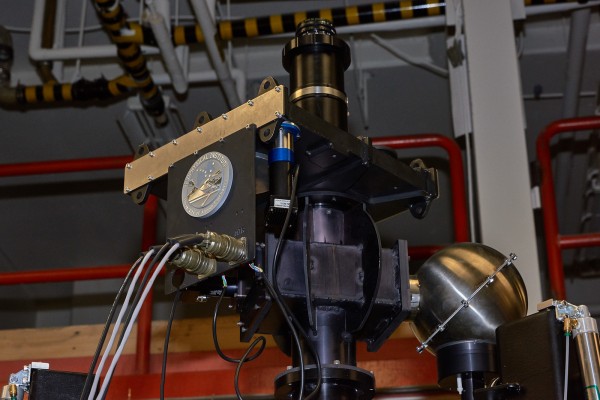
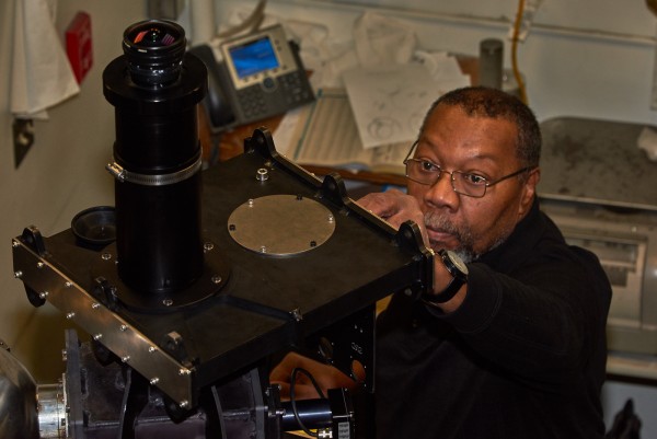
Conde came up with the idea for the device, which he calls a scanning Doppler imager, in the 1990s. The device has evolved, and the latest instruments were developed in collaboration with Conde’s colleagues at La Trobe University in Australia. The GI’s Instrument Development Services shop modified their design, allowing new instruments to be built using many more off-the-shelf parts.
The GI imager is now headed to McMurdo Sound in Antarctica, along with the original instrument designed at La Trobe. The devices stand about 10 feet tall and will occupy about 16 square feet of floor space. Both will be in heated buildings.
Antarctica is the best place for both devices because the ionosphere and upper atmosphere can be monitored from Earth at very high latitudes — 78 degrees at McMurdo and 90 degrees at the South Pole — under clear skies and in locations specific to scientific research.
Greg Shipman, of the GI’s Instrument Development Services, noted that one of the pieces the shop manufactured is a dome window for each of the roofs of the host buildings. The window has two layers so warm air can be piped between them to keep the window clear of frost. The temperature at the South Pole can fall below minus 100 degrees Fahrenheit. The shop provided extra dome windows in case of breakage and made the window setup easy to change.
Conde will not go to Antarctica himself for the installation because of teaching commitments. Next year, Conde will send graduate students to oversee the operations, and may even go south himself.
Format the contact(s) in this format. (Overwrite this text):
Sue Mitchell, University of Alaska Fairbanks Geophysical Institute, 907-474-5823, sue.mitchell@alaska.edu
Mark Conde, University of Alaska Fairbanks Geophysical Institute, 907-474-7741, mgconde@alaska.edu
Greg Shipman, University of Alaska Fairbanks Geophysical Institute, 907-474-7506, gkshipman@alaska.edu