
Method rapidly determines surface air quality during Alaska wildfires
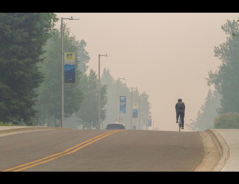
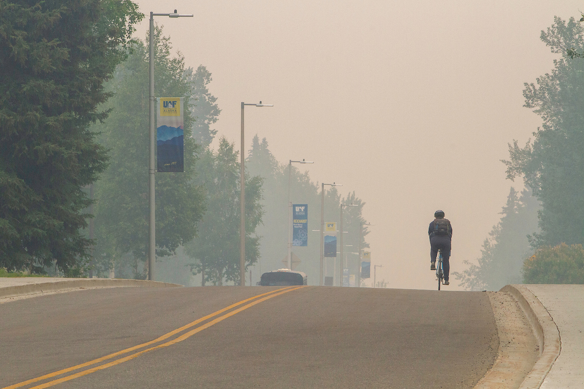
A method of quickly determining surface air quality during Alaska’s sometimes intense wildfire season will benefit urban and rural communities, especially those in Interior Alaska where boreal forest fires often rage.
The development of such a method by Tianlang Zhao, a graduate student in associate professor Jingqiu Mao’s research group at the University of Alaska Fairbanks Geophysical Institute, fills a major gap in Alaska’s air quality monitoring system.
The U.S. Environmental Protection Agency and the Alaska Department of Environmental Conservation don’t have enough standardized monitoring sites in the state to rapidly and accurately measure fine particulate pollution, known as PM 2.5, during a wildfire. This especially the case in rural Alaska.
“That’s why we need to combine multiple observations,” Zhao said. “The current ground-monitoring network is too coarse to capture wildfire in Alaska.”
Zhao’s work was published in a special issue of Environmental Science & Technology Journal.
Co-authors include Mao, Pawan Gupta of NASA’s Goddard Space Flight Center, and Huanxin Zhang and Jun Wang, both of the University of Iowa.
Regional surface PM2.5 levels often are extrapolated in part from aerosol optical depths, but the relationship can be complicated during wildfires.
Aerosol optical depth is a measure of the total amount of tiny particles in the air. It is obtained by assessing how much sunlight is prevented from passing through the atmosphere.
However, aerosol optical depth data from satellites does not directly reveal how aerosols are distributed vertically in the atmosphere, meaning it’s hard to determine how much of the aerosol is near the ground where it affects air quality. Wildfire smoke plumes can be injected at various altitudes, depending on burning conditions.
To resolve that challenge for use during wildfires, Zhao studied the aerosol vertical distribution under different fire intensities. He used NASA’s Cloud-Aerosol Lidar and Infrared Pathfinder Satellite Observation satellite and computer model.
Zhao found that wildfire smoke rises to a higher altitude when the fire becomes stronger. This is challenging to model accurately but can be captured by the observation-based formula.
Zhao combined data from a variety of ground sources, including a standard monitoring network and an emerging low-cost sensor network.
“Our method is a mathematical formula derived from 15 years of ground PM 2.5 observations and satellite aerosol optical depth measurements,” Zhao said. “It has different parameters for different AOD levels, allowing it to account for varying wildfire severity, especially for intense fires.”
Zhao used aerosol optical depth data from eight sites, ranging from the Arctic coast and the North Slope to near Chatanika and the Fairbanks region and farther south to near Healy and Fort Greely. One site was at Kluane Lake in Canada’s Yukon.
He also used PM 2.5 data from five AirNow sites — Fairbanks, Anchorage, the Matanuska-Susitna Borough, Juneau and North Pole — and from Alaska’s PurpleAir sensors, which expanded in number from 41 in 2019 to 106 in 2022.
The method does not identify the kind of particles in the air. Zhao noted that his method is designed specifically for deriving PM 2.5 levels under high aerosol optical depth conditions during Alaska’s wildfire season, meaning that elevated levels are most likely from wildfire.
“The unique feature of our method is that it provides an observational-based, quick and direct estimation of surface PM 2.5 levels across Alaska during wildfire season,” Zhao said. “Previous work did not address the complexity of Alaska wildfires. And we don’t need a supercomputer.”
• Tianlang Zhao, University of Alaska Fairbanks Geophysical Institute, tzhao@alaska.edu
• Jingqiu Mao, University of Alaska Fairbanks Geophysical Institute, jmao2@alaska.edu
• Rod Boyce, University of Alaska Fairbanks Geophysical Institute, 907-474-7185, rcboyce@alaska.edu


