Cumulus Clouds and Cloud Streets
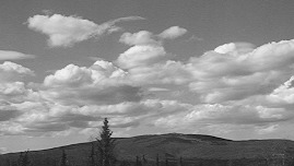
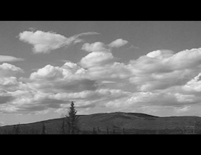
Although winter clouds over most of Alaska are usually found in rather dreary sheets, in summer the puffy cumulus clouds punctuate the sky. These clouds may vary from snowy wisps of cotton candy to towering hard-edged thunderheads, and indeed may change from one extreme to the other in a startlingly short time. On other days, they may remain like flattened heaps of whipped cream, or march in ordered rows away from areas of high ground.
Cumulus clouds owe their existence to the heating of the earth's surface by the sun. The heated ground heats the air it touches; that warmed air then rises through the cooler air higher up in the atmosphere. If a particular area is warmer than another area close by, the rising air will be concentrated over the warmer area.
Air, like everything else, has to do work to go upwards. The energy for this work comes from the heat energy of the air, so the air cools as it rises. Warm air can hold more water as vapor (invisible gas) than can cold air, so if the air rises far enough, some of the water will condense into tiny droplets, which in large numbers form clouds. The height the air must rise for this to happen depends on the relative humidity of the air near the ground, so if that is fairly uniform, the clouds will all have their bases flat and at about the same height, which frequently happens with cumulus. (The bases may look lower at a greater distance, but this is a perspective effect.)
How high the tops of the clouds can rise depends on how fast the temperature drops with height in the air through which the parcel of ground-warmed air is rising. If the temperature in the surrounding air decreases rapidly with height (faster than 7 or 8 degrees C per kilometer), the clouds will build rapidly into great cauliflower-shaped piles. They may then smooth and flatten on top as they reach the tropopause (the boundary between the turbulent troposphere and the calm stratosphere), and will most likely begin to rain. If there is a layer lower in the atmosphere where the temperature decreases less rapidly or even increases, however, this will act as a lid on the clouds and they will remain puffy little fair-weather cumulus.
In hilly country, cumulus may form over the higher areas and then drift away with the wind, forming cumulus streets. This happens because the high ground, heated by the sun, is generally warmer than the air at the same height over the neighboring lower ground. Consequently, the rising air is concentrated over the hill tops, and that is where the first cumulus clouds can be seen.
In the evening, the sun's heating effect on the ground weakens, and there is no longer anything driving the formation of cumulus clouds. Thunderheads evaporate or rain out, leaving only their anvils (the flattened ice clouds at their tops) behind them. Lower cumulus sag and flatten, providing attractive accents for sunsets before they, too, evaporate. Except in some places such as the Great Plains, where thunderstorm activity triggered by the Rocky Mountains can move steadily eastward through the night, the cumulus disappear at night, as they do in winter, until the sun again returns to repeat the daily and seasonal cycle.

